Book a Call

"*" indicates required fields

This field is for validation purposes and should be left unchanged.

Insights

Hear from our experts.

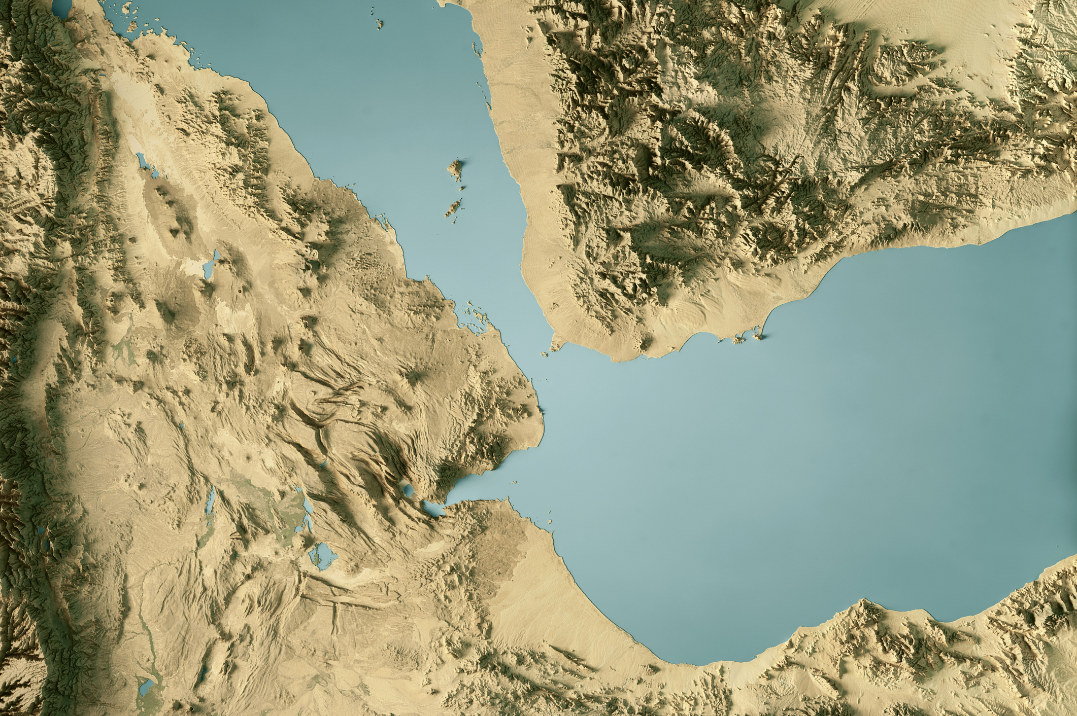
  • 3D Render of a Topographic Map of the Bab Al-Mandab Strait, Red Sea, Gulf of Aden. 
All source data is in the public domain.
Color and Water texture: Contains modified Copernicus Sentinel data (2021, 2025) courtesy of ESA.
URL of source image: https://dataspace.copernicus.eu/explore-data/data-collections/sentinel-data/sentinel-2
Relief texture: SRTM data courtesy of NASA JPL (2020). URL of source image:
https://lpdaac.usgs.gov/products/srtmgl1v003/

    The Gulf Brief: What moved, what matters and what to watch

    As Iran-backed Houthi rebels swept down Yemen’s Red Sea coast last week, Saudi Crown Prince Mohammed bin Salman called Donald Trump to seek U.S. support. The Houthis were closing in on the Bab al-Mandeb, the narrow strait that has become crucial for Saudi crude exports since Iran throttled shipping through the Strait of Hormuz, while…


    Read More

Subscribe for updates

Analysis and insights to help you move through your busy week, informed and ready.

Subscribe